
The Results
This inland rice field study sponsored by Charleston County is the largest research project ever conducted to gather information about inland rice field construction. This study shows that researchers should not rely on historical plats, maps, and accounts alone. Even the best plats never show all of the structures that make up fields, particularly embankments inside the larger field system. Our review and comparison of plats and modern aerial photographs and the on-site visits shows that it is imperative to visit the location where former rice fields are expected to exist. This is the only way to positively establish the existence of the fields, assess their present condition, and gather an accurate understanding of the construction and operation of the fields and how field features relate to each other.
As a result of this work, the project archaeologist and historian offered a set of standardized names and definitions that all researchers can use when discussing and describing the features that make up an inland rice growing system. These terms are based on the function of each structure. Having one set of standard terms is an important step to creating guidelines that researchers can use to recommend the inclusion of these important and quickly disappearing resources on the National Register of Historic Places.
Dams
Embankments that cross from high ground to high ground and hold water to create rice fields or reservoirs were called dams.
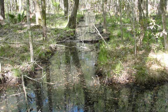
Facing Ditches and Facing Embankments
Ditches that faced the reservoirs and fields and move water to and from the crops were called facing ditches – they are sometimes referred to as canals on later period plats and maps. When the facing ditch was excavated, the soils were piled to create an embankment. These embankments were located on the inside of the square with the ditch on the outside.
Quarter Ditches
Quarter ditches existed only inside of fields and provided pathways to move water and to insure that water spread evenly across the fields. Quarter ditches are believed to have separated the fields into quarter acre sections that equaled the average task an enslaved African was responsible for each day.
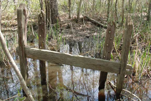
Rice Trunks
Rice trunks were devices used to control or carry water throughout the system of rice fields. Generally they were long wooden boxes that served as sluices. A door or gate was built into each end. The trunks were installed in the banks of the rice fields for water to travel to and from fields. The gates were opened or closed to remove or add water to a field. The earliest rice trunks were even simpler devices. Slaves hollowed out cypress logs and fitted them with plugs at each end. This technology was common in West Africa and may be where we get the name rice trunk.
Reservoir
Reservoirs were created from small ponds, by damming up a small creek, or by impounding a square of the rice field. Reservoirs reserve water for flooding the fields.
Canal/Drains
As more swampland was impounded and managed by humans, the natural water system was disrupted. To resolve issues with flooding, local planters developed public canals or drains to control water across large areas and to prove easier transportation for rice crops. Generally facing ditches were enlarged into canals as part of the new tidal rice culture that developed after the American Revolution.
An old embankment at Crowfield Plantation.
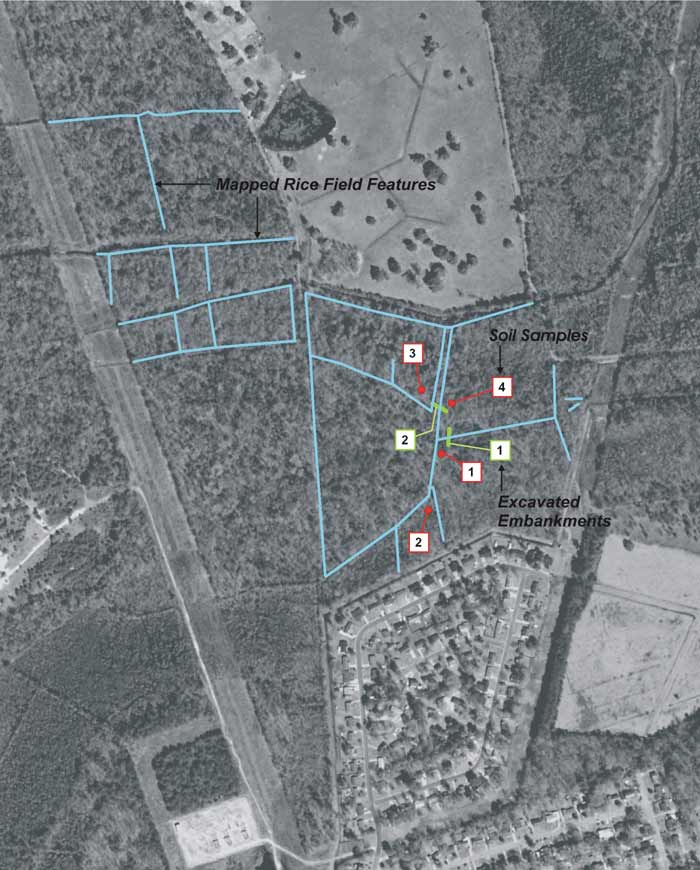
The location of mapped features, excavated embankments, and soil samples collected during study of Palmetto Commerce Parkway.
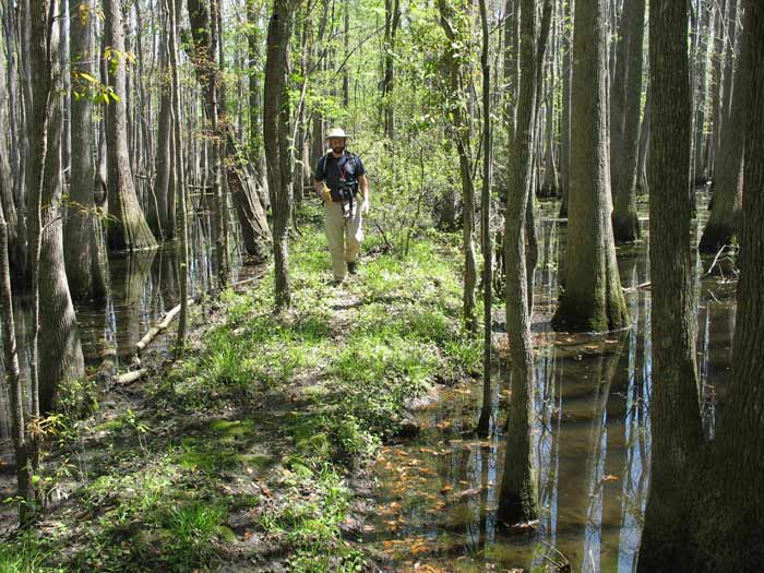
An example of a rice field dam.
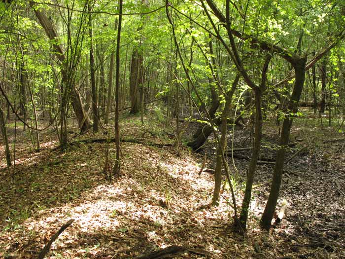
An example of a facing ditch and facing embankment.
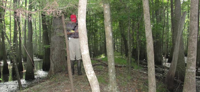
An example of a quarter ditch.
An example of a rice trunk.